urban infrastructure••5 min read

Why Some Underpasses Flood and Others Stay Dry: Unpacking Urban Deluges

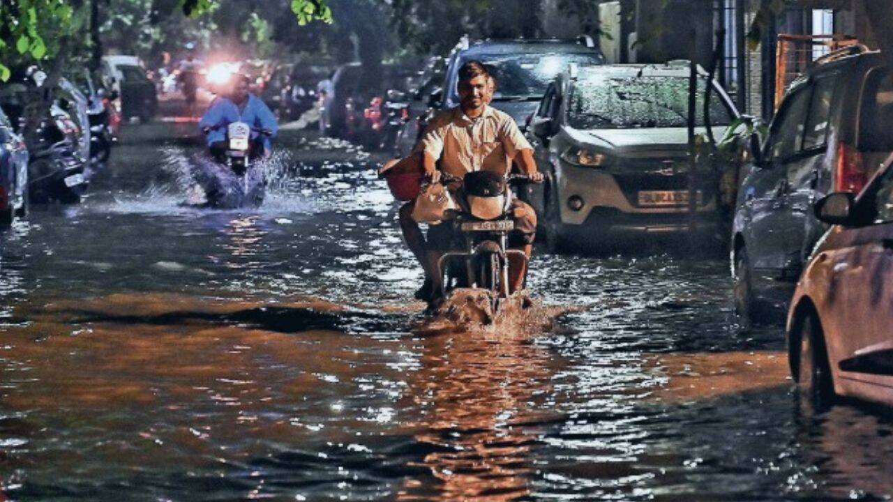
Recent record-breaking rainfall has turned major city streets into rivers, leaving commuters stranded. But why do some underpasses fail while others withstand the storm? The answer lies in a complex interplay of geography, urban design, and outdated drainage.

Why Some Underpasses Flood and Others Stay Dry: Unpacking Urban Deluges

The Illusion of Rainfall Intensity

When cities experience record-breaking rain, the immediate assumption is that the volume of water is simply too much for the earth to handle. However, infrastructure experts argue that rainfall intensity is rarely the sole culprit. The difference between a functional underpass and one that turns into a basin depends on a city's specific topography, the direction of surface runoff, and the state of its drainage network.

Urban planning and drainage efficiency are the primary determinants of flood resilience in underpasses.

The Role of High-Density Development

Modern urban expansion often works against flood mitigation. As cities become more densely populated, the amount of impervious surfaces—like asphalt and concrete—increases significantly. These surfaces prevent rainwater from being absorbed into the ground, forcing it to travel rapidly across the surface toward low-lying areas, such as underpasses.

  • Increased impervious surface area limits natural soil absorption.
  • Obsolete drainage networks often struggle to handle modern runoff rates.
  • Encroachment on natural water channels removes the city's primary drainage relief valves.
  • Hotspot zones develop where drainage nodes collectively overflow, overwhelming local systems.

The Infrastructure Gap

The problem is exacerbated by legacy systems. Many drainage networks were designed decades ago, based on climate models that no longer reflect the reality of current, more frequent extreme weather events. When these systems are combined with inadequate waste management—where debris clogs storm drains—even minor rain can lead to catastrophic waterlogging.

Since 2022, urban flooding in India has become more severe in cities like Mumbai, Chennai, Hyderabad, Bengaluru, and Kolkata, which are particularly vulnerable due to a combination of obsolete drainage and rapid, uncontrolled urban expansion.

— Urban Drainage Research Journal

Key Takeaways

  • Rainfall intensity is only one factor; urban design and topography play a larger role in flooding.
  • Impervious surfaces in high-density developments prevent natural water absorption.
  • Obsolete drainage infrastructure is failing to meet modern climate challenges.
  • Encroachment on natural water channels creates 'hotspot zones' that overflow during heavy rain.
  • Proper waste management is critical to preventing existing drain blockage.

FAQ

Why do some underpasses flood while others remain dry in the same storm?

It depends on the local topography, the specific drainage capacity of that area, and how the surrounding urban surfaces direct water runoff.

How does urban density contribute to flooding?

High-density development creates more 'impervious' surfaces like concrete, which prevent water from soaking into the ground and instead push it toward drainage systems that may be undersized.

What are 'hotspot zones' in urban drainage?

Hotspot zones occur when multiple drainage nodes fail to keep up with water volume, leading to collective overflow in a specific geographic area.

Can climate change be blamed for all urban flooding?

While climate change increases the frequency of heavy rainfall, existing vulnerabilities like poor waste management and aging infrastructure are the primary reasons why these systems reach a breaking point.

Related Videos

How Flood Tunnels Work

Practical Engineering

Why Japan Doesn’t Flood Despite Heavy Rain – Smart Engineering Explained!

Our Words

Where Does Stormwater Go?

Practical Engineering

Sources