science & environment••4 min read

Chicago’s Weather Is Shifting: Here’s Why Your Forecast Is Changing

After a weekend of stalled storms and heavy rain, Chicago is entering a new, more progressive weather pattern. This shift promises faster-moving systems and fluctuating temperatures for the week ahead.

Chicago’s Weather Is Shifting: Here’s Why Your Forecast Is Changing

A New Pattern Takes Hold

If you spent the weekend dodging raindrops in Chicago, you aren't alone. A stalled storm system sat over the region, dumping significant rainfall and keeping conditions gloomy. However, meteorologists are now tracking a definitive shift in the atmospheric setup that will change the character of the city’s weather for the coming days.

The transition moves the region into what experts call a 'very progressive' pattern. Unlike the stagnant system that defined the weekend, this new flow is characterized by quick-moving storms rather than long-duration deluges.

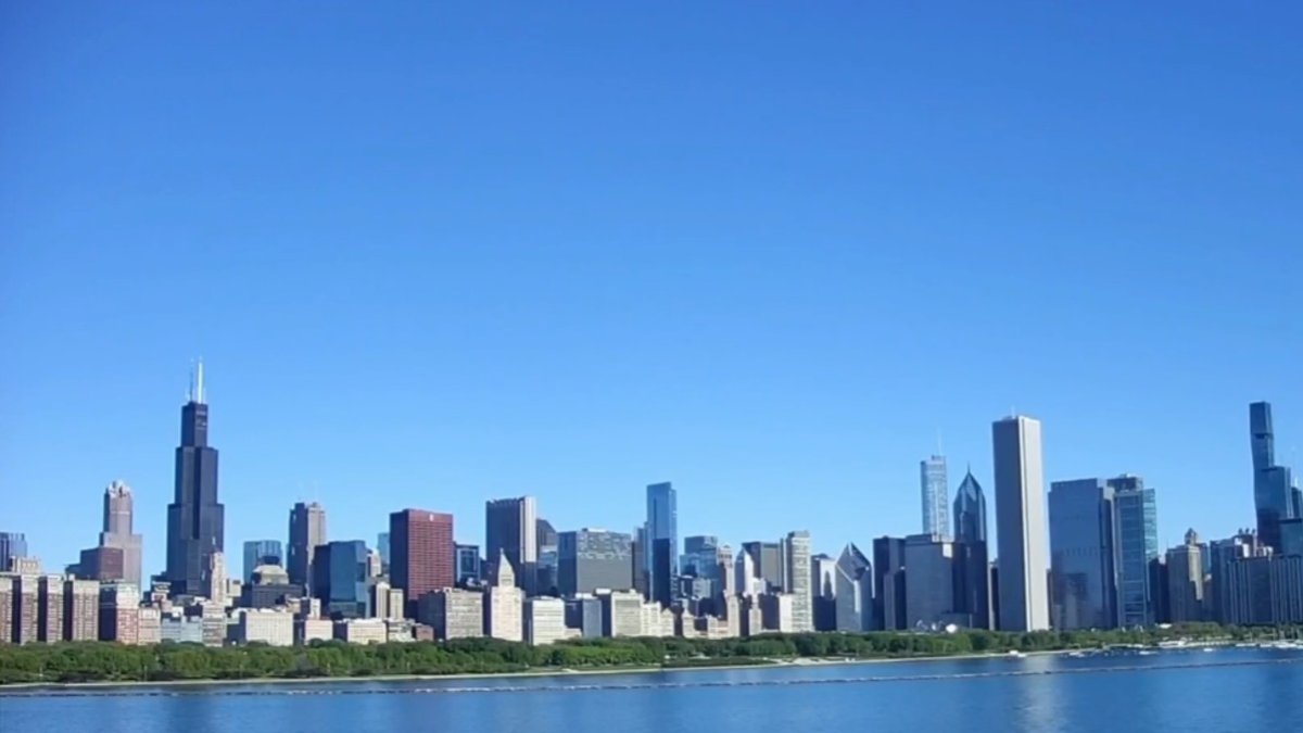
A new weather pattern is set to replace the recent stalled storm system.

What to Expect This Week

Residents should prepare for fluctuating conditions as this pattern settles in. While the threat of severe weather remains low, the week will be marked by several rounds of showers, particularly midweek. These pulses of rain are expected to be shorter in duration but could still lead to localized heavy downpours.

  • Temperatures are expected to oscillate between the mid-70s and mid-80s.
  • Midweek will feature multiple, quick-hitting rounds of rain.
  • A brief warm-up is anticipated as we head toward the end of the week.
  • The pattern is expected to facilitate better movement of air masses compared to the weekend.

Why Forecasts Change

Weather forecasting relies on complex mathematical models that process vast amounts of environmental data. When a pattern is 'stalled,' it often means high-level atmospheric steering currents are weak. As these currents strengthen, the 'progressive' movement of weather systems becomes much more predictable, yet inherently faster.

The phrase 'garbage in, garbage out' is helpful when explaining how weather forecast models operate. That's because before a model can generate an accurate forecast, it must first synthesize initial input data correctly.

— Meteorological Industry Standard

Key Takeaways

  • Chicago is exiting a stalled storm system that caused heavy weekend rain.
  • A new 'very progressive' pattern is bringing faster-moving weather systems.
  • Expect fluctuating temperatures, ranging from the mid-70s to mid-80s.
  • Midweek rain showers are expected, though severe weather is currently not in the forecast.
  • Quality of input data remains the bedrock of accurate meteorological modeling.

FAQ

Is severe weather expected in Chicago this week?

Current reports indicate that severe weather is not expected; however, multiple rounds of quick-hitting showers are likely midweek.

What does a 'progressive' weather pattern mean?

A progressive pattern means that weather systems are moving across the region relatively quickly, preventing the stagnation and prolonged rain that occurred over the weekend.

What temperature range should I expect?

Temperatures are expected to fluctuate between the mid-70s and mid-80s, with a brief warm-up late in the week.

How do weather models work?

Weather models rely on complex physics and mathematical equations to process data, which is why the quality of initial input data is critical for accurate predictions.

Related Videos

How millions of equations are used in weather models

KPIX | CBS NEWS BAY AREA

How are weather forecasts made?

EUMETSAT

The Incredible Logistics Behind Weather Forecasting

Wendover Productions

Sources